Disaster Relief Australia (DRA) is a lead agency for provision of localised post-disaster aerial imagery and mapping data. Using military intelligence, surveillance and reconnaissance expertise, we’ve conducted more than 3,000 post disaster flights across Australia and Asia-Pacific.
Aerial damage assessment and mapping
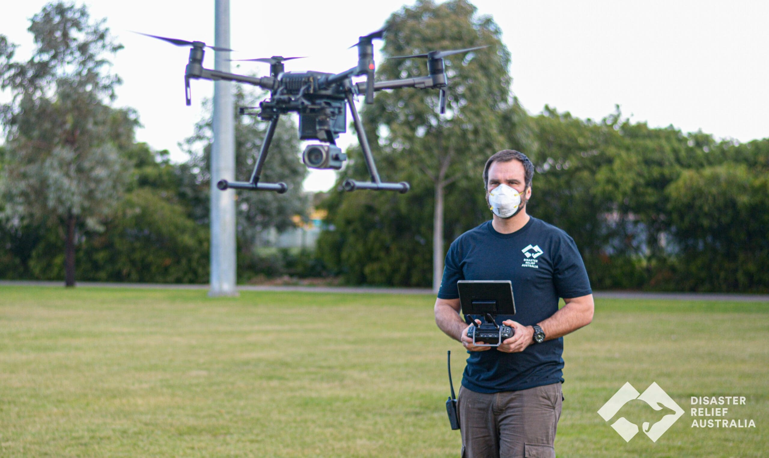
Small teams of between two to six can rapidly deploy to undertake aerial mapping and assessment of impacted properties and locations. DRA uses a remotely piloted aircraft fleet and trained specialists to increase the effectiveness and safety of post-disaster operations. This coupled with teams of image analysts turns aerial imagery into aerial intelligence.
Our services include:
- immediate disaster response at short notice 365 days per year to provide vital intelligence to complement existing manned aviation capabilities.
- actionable and timely data and intelligence to aid in decision making by national and state level emergency management agencies and communities.
- increased capability through the use of new technology to enable world leading aerial data collection for disaster response and recovery operations in Australia and overseas.
- a national team with highly trained veterans in every state and territory, providing intelligence to Australian agencies both at home and overseas.
Our Aerial Damage Assessment Team (ADAT)
DRA is certified by the Civil Aviation Authority (CASA) to conduct aerial mapping and damage assessment operations using Remotely Piloted Air Systems (RPAS), or drones.
Teams are trained on military intelligence, surveillance, and reconnaissance (ISR) techniques and procedures, in conjunction with the latest technology and software to provide cutting edge capability.
Suitably qualified and accredited volunteers are specifically trained on the use of RPAS to undertake post-disaster wide area mapping. This information is processed using specialised software and then interpreted by a team of analysts to generate timely, actionable intelligence that assists a range of stakeholders with response and recovery activities.
Aerial damage assessment capabilities
DRA’s aerial damage assessment capabilities include:
- Complex drone operations, including extended and beyond visual line of sight
- Drone RGB and thermal imagery capture
- Real-time imagery and video transfer to IMTs
- 2D and 3D mapping
- Topographical mapping
- Digital elevation models
- Volumetric surveying
- 360-degree panoramic imagery
- Ground based “street view” mapping
- Nearmap imagery – access and integration
- ArcGIS – imagery integration and analysis
- AI analysis for rapid damage assessment in partnership with Australian Institute for Machine Learning
- DRA’s “battle map” layered information, common operating picture
- Data set interoperability
- Surge capability to complement existing agencies
Contact us
For more information, to inform us of your decision to leave a gift or a confidential discussion about creating a bequest with Disaster Relief Australia, please contact our Team.
Get in touch