Report information
BIG MAP
Purpose of the Big Map
The purpose of the ‘Big Map’ activity is to better understand the community complexities and develop a community risk profile based on the exposure within an all-hazard environment. The past and present approach to building community resilience has been ad hoc and disjointed. No one organisation has looked to bring everyone involved together at the table to develop a collaborative approach to resilience and recovery moving forward.
Understanding, measuring, and assessing community resilience requires a keen awareness of the links and relationships between the various levels of governance and the different systems which are directly and indirectly affecting communities. Developing strategies for building and enhancing community resilience requires an understanding that vulnerability at any level translates to an increased vulnerability in other areas of the larger system.
At its foundation the DRA ‘Big Map’ links into the community where identity is always essentially by what people value and about where they live. However, what a community of people collectively values are open to interpretation and subject to disagreement. This suggests that people and the ways they come to a rough consensus—are necessarily at the very centre of community resilience and their intended future.
RICHMOND VALLEY (NORTHERN NSW)
DRA Big Map – Richmond River Catchment
Disaster Relief Australia (DRA) has made a substantial contribution to the communities of Northern Rivers, particularly in the Richmond Catchment, NSW, through significant efforts like Operations Kelliher and Riordan in 2022. These operations involved comprehensive disaster relief activities, including deploying hundreds of volunteers and saving the community millions in costs. Our work underscores the importance of efficient response strategies, robust resilience building, and pre-emptive measures against potential disasters.
To provide a detailed understanding of our activities and their impact in the Richmond Catchment, we have compiled an extensive ‘Big Map’ report. This report offers an in-depth account of our work and findings in Northern Rivers, NSW, including an analysis of the area’s ecological and socio-economic profile. To learn more about DRA’s disaster relief efforts and recommendations, view the full report.
Gawler River Catchment (Adelaide Plains S.A)
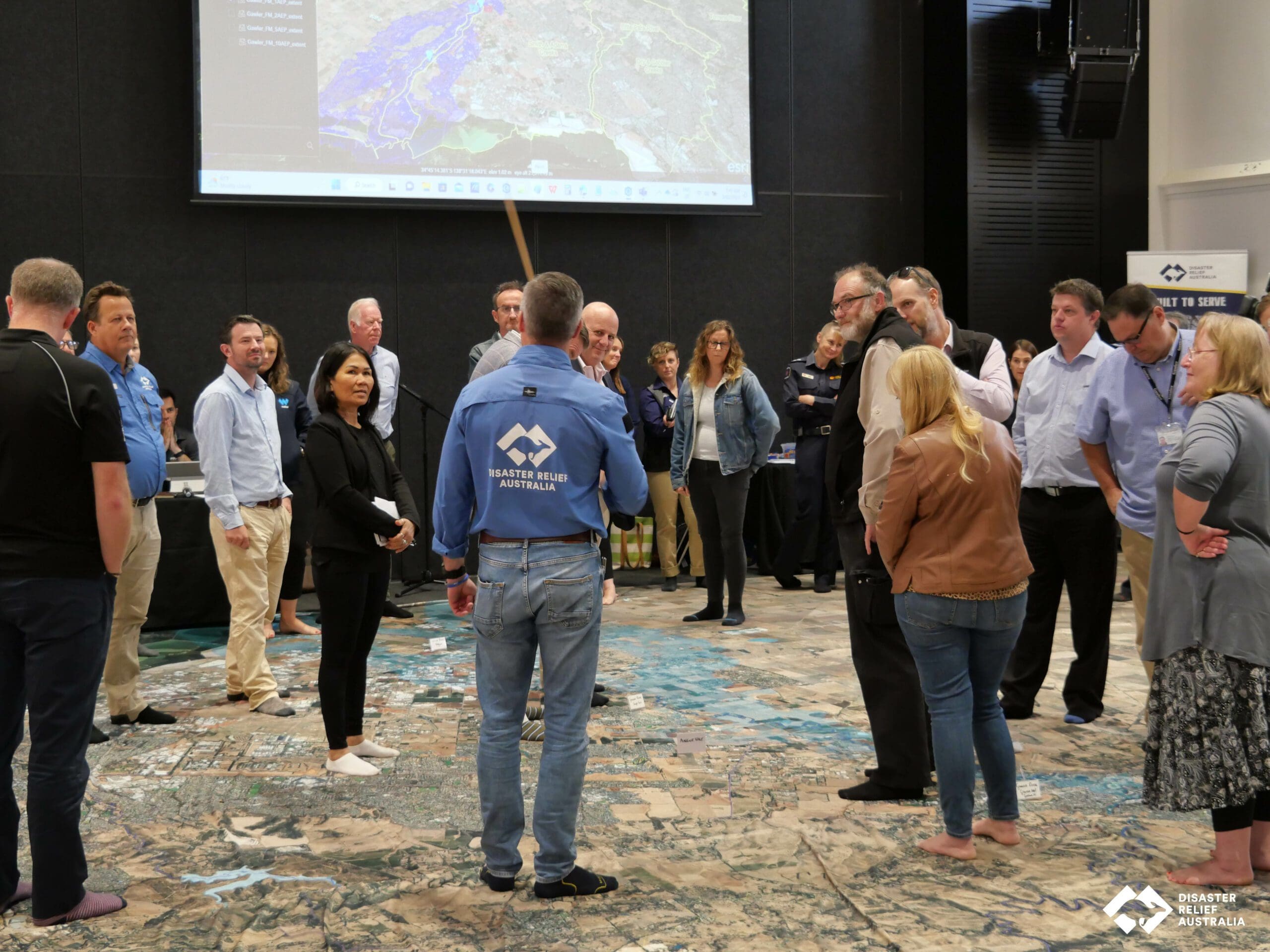
DRA Big Map – Gawler River Catchment
Disaster Relief Australia (DRA), in collaboration with Minderoo Foundation’s Resilient Communities Initiative, conducted a proactive ‘Big Map’ event in the Gawler River Catchment, South Australia, in February 2023. This exercise combined local knowledge and disaster management expertise to understand the region’s flood impact and build a resilient community profile amidst all potential hazards.
The event highlighted the critical role of efficient flood warnings, consistent data collection, and robust resilience in local industries. Furthermore, it underscored the importance of a unified emergency response plan and pre-emptive measures for potential disasters. To learn more about DRA’s disaster relief efforts and recommendations, view the full report.